Geography · Kindergarten to Grade 7–8
Rivers of the world
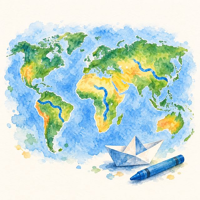
Where the great rivers run, from the hills to the sea.
The Pet shows a great river and your child taps the continent it runs through. The river appears on the map with its famous thing, and older children find where it starts and where it reaches the sea.
- Kindergarten to Grade 7–8
- 10 min
- Nothing to prepare
- On the screen
Free to sign up.
Is it a good fit?
- Ready if Your child can tap a place on a map; the continents are named for them as they go.
- Too much today? Start with Animal atlas: the same world map, with animals.
- Too easy? The Grade 5–6 level: what people use each river for; Grade 7–8 asks about rivers that cross many countries, and whose water it is.
What your child practises
- Continents
- Source and mouth
- Comparing rivers
- What rivers are for
“Water runs downhill, so that end is the sea.”
If your child says something like this, in their own words, the idea has landed. Finishing the rounds means they took part; this is the learning.
Your part
- Nothing to prepare or print
- Each question has a Read it to me button
- Plays alone: a missed continent is greyed and named, never marked wrong
Take it off the screen (optional)
Name the river nearest your home together, and find out where it reaches the sea.
More like this
The full design
What it is
Every river runs downhill to the sea, and people live beside it. Fourteen rivers as lines on the same painted world as Animal atlas, each with a picture of its one famous thing. Skill: continents, then source and mouth, then comparing, then what a river is for and whose it is.
How it goes
The Pet holds up a river → the child taps the continent → a miss greys it and names the right one, never "wrong" → the river lands as a line on the map with its fact. At 1–2 the two ends are buttons; the source end is answered with "water runs downhill".
The Pet
Notices: "The Danube passes four capitals." Asks: "which end is the sea?" Admits not knowing: which is longer, the Nile or the Amazon; nobody is quite sure. Dares (1–2 up): name the river nearest your house and where it reaches the sea.
By band
K: a river card, tap the continent, one true thing each. 1–2: the river drawn from source to sea, tap the sea end. 3–4: which is longer (the Nile or the Amazon: nobody is quite sure), which two share a continent. 5–6: what people use it for. 7–8: a river through many countries, whose water it is (a claim with no wrong answer), which crosses the most countries.
What it grows
The source pack of fourteen rivers with source, mouth, length, countries and uses, each checked against Britannica; the rivers are drawn over the same painted world map as the animal atlas.
Done, and what counts as evidence
Done = the rung's rounds. The 7–8 claim is the observation.
What's personal
The family's own river first when the day's set has one (the Thames, the Mississippi, the Nile from Jordan, the Rhine from France or Germany, the Tigris from Iraq).